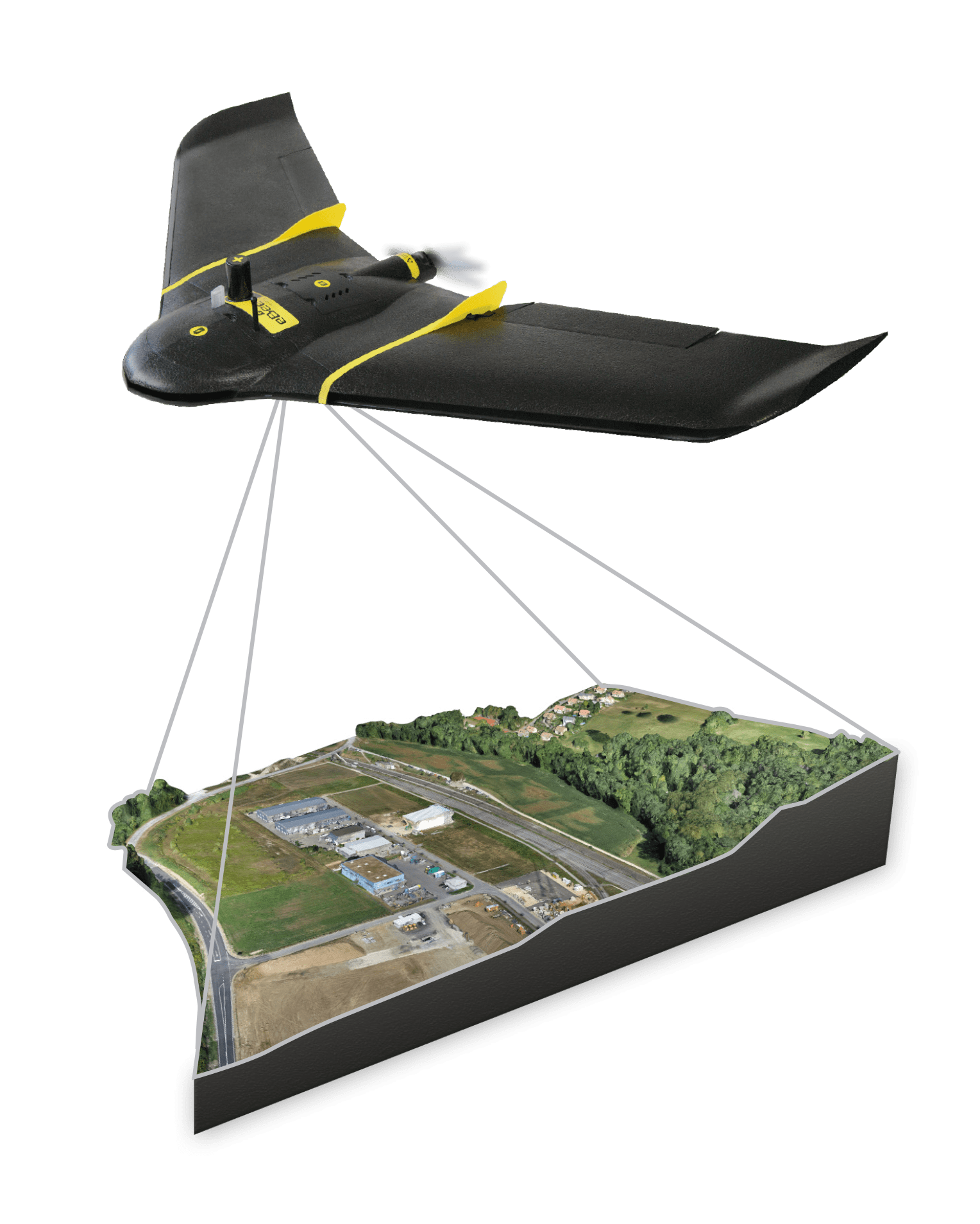
Get a Clear Picture of Your Property
Surveying Wide Areas of Land Across Southwest Missouri
Serving the Entire Southwest Missouri Region of the Ozarks
CITIES
Battlefield
Blue Eye
Branson
Branson West
Cape Fair
Coney Island
Fremont Hills
Galena
Hollister
Indian Point
Kimberling City
Lampe
Nixa
Ozark
Reed Springs
Ridgedale
Springfield
COUNTIES
Christian
Green
Stone
Taney
Services
Geospatial services we provide:
Land surveying services we provide:
Engineering services we provide:

Services
Geospatial services we provide:
Land surveying services we provide:
Engineering services we provide:

About
Julie Peterson
President
Jim Peterson, PE, PLS, Ph.D.
Vice-President
Education
Bachelor of Science in Civil Engineering, University of Missouri Rolla, Missouri - 1991
Master of Science in Civil Engineering w/ Transportation and Surveying Specialty, Southern Illinois University at Edwardsville, IL - 2007
Doctor of Philosophy in Civil Engineering w/ Transportation & Geospatial Specialty, Missouri University of Science & Technology Missouri – 2015
Over 30 Years of Expertise
Engineering Expertise
Professional Engineer in Missouri & Illinois
Civil, Mining, Site Development, and Transportation.
Land Surveyor Expertise
Professional Surveyor in Missouri
Cadastral, Geodetic, and Photogrammetric Surveying
Expertise
Jim is a two-time graduate of Missouri S&T, where he has specialized in transportation, surveying, and geospatial. Jim has over 30 years of experience in the industry and is the principal in charge of all professional services.
He is also a Part 107 FAA-certified drone operator with over 13 years of drone experience.
"*" indicates required fields
